Research mat

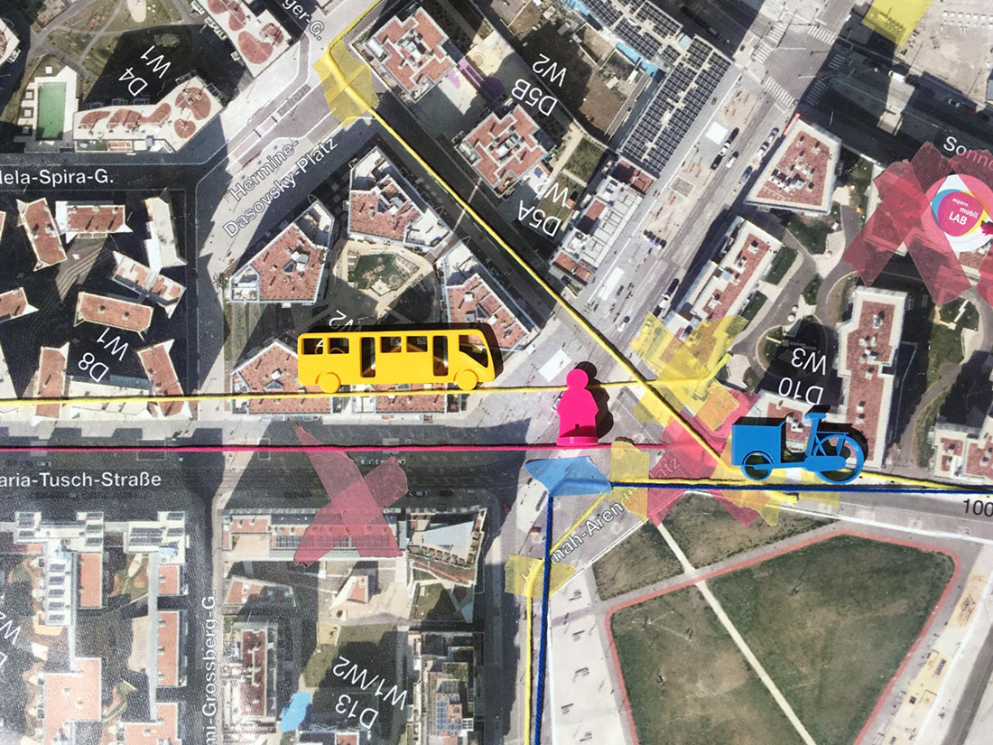
Research mat , © aspern.mobil LAB | Wagner
Since its inception, the aspern.mobil LAB research mat has provided space for exchange and joint learning with the diverse research community.
As a mobile, easily transportable tool, it is used in public places in the Seestadt, in the OPEN.mobil LAB, at conferences and in the various formats of the aspern.mobil LAB. The research mat offers spatial reference, orientation and positioning with the research community.
Based on the qualitative method of community mapping and asset mapping from participatory action research (PAR), daily routes, points of interest, modal split, transport routes, hot spots and cold spots, problematic areas and potentials in public space are mapped and traced together with residents and project partners from business, administration and research, and innovative project ideas are explored via location and setting.
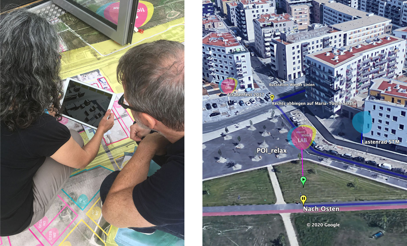
A satellite image of the Seestadt on a scale of 1:500, printed on a 4 x 4 metre truck tarpaulin, provides the basis for exchange. Due to the robust material it is even possible to walk across the map. The exchange of knowledge and ideas on local mobility, laboratory hours and project discussions are supported by the common view from above through colour codes and haptic components such as 3D printed figures, means of transport, place marks as well as scales, tape and stickers. Depending on the research question, the research mat is additionally extended by digital markers, QR codes, RFID chips, tablet, smartphone, augmented reality or other tools and sensor technology for qualitative research and data collection. As a 16m2 anti-car blanket for the mobility research of the transport transformation, the research mat can be booked on request as a pop-up LAB with or without process support and adapted for research projects.

Research mat Augmented Reality_Project VR Planning, Media and Data, © aspern.mobil LAB | Wagner


